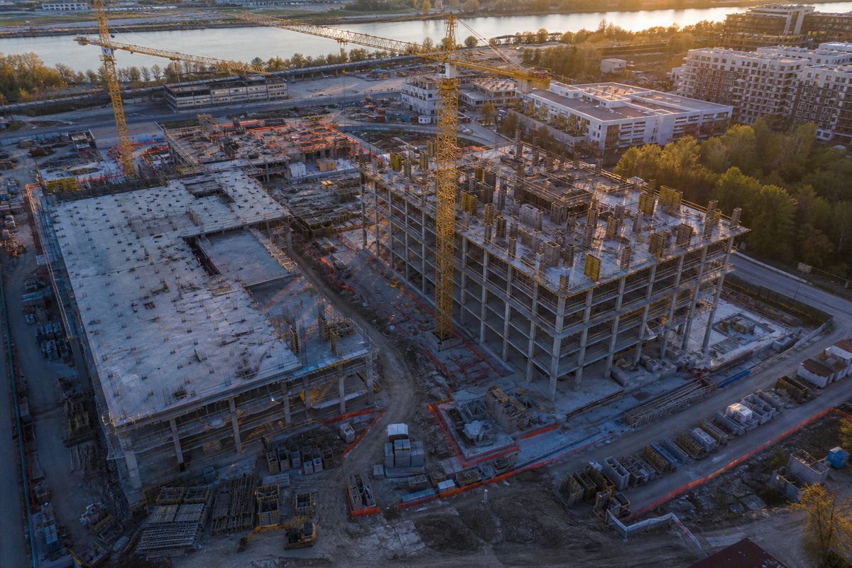
Construction
- Drone progress tracking
- Site volumetric analysis
- Safety compliance audits
 AERION
DGCA CERTIFICATION IN PROCESS
Automate industrial inspection, surveying and surveillance with AI-powered aerial intelligence — built for safety, speed and scale.
INTELLIGENCE ABOVE. IMPACT BELOW.
Industries
Helping enterprises improve efficiency, safety and operational intelligence.


Solutions
End-to-end aerial intelligence tailored for demanding industrial operations.
Automated visual inspection of critical assets with AI-driven anomaly detection.
Learn More →High-sensitivity thermal imaging to uncover overheating and hidden defects.
Learn More →Rapid, high-accuracy topographic surveys at a fraction of traditional cost.
Learn More →Dense point-cloud data for precise terrain modeling and volumetric analytics.
Learn More →Track site progress, verify plans and manage risk with weekly aerial intelligence.
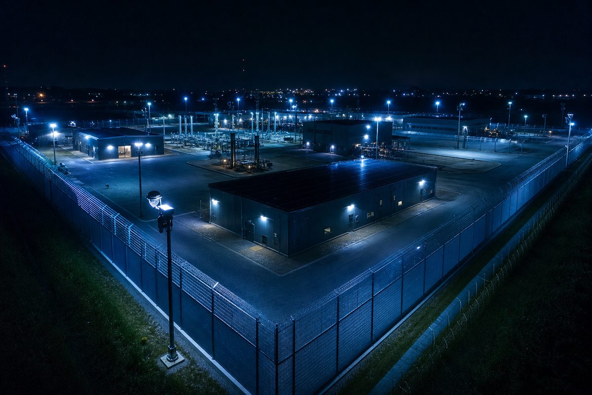
Learn More →Autonomous perimeter and asset monitoring with real-time threat alerts.
Learn More →NDVI, crop stress and precision spraying for high-yield farm operations.
Learn More →Rapid aerial situational awareness for disaster and incident response teams.
Learn More →Technology
An integrated intelligence stack — from onboard perception to enterprise reporting.
Automatically identifies structural issues.
Detect overheating and hidden defects.
Generate high-precision terrain models.
Monitor drone missions live.
Generate enterprise reports instantly.
Export GIS, CAD and PDF reports.
How It Works
We understand your operational goals, sites and success metrics.
Route design, regulatory clearance and hardware configuration.
Certified pilots deploy on-site with enterprise-grade UAVs.
Data ingested and analyzed through our proprietary AI pipeline.
Deliverables in GIS, CAD, thermal and PDF formats.
Actionable intelligence for cost, safety and productivity gains.
FAQ
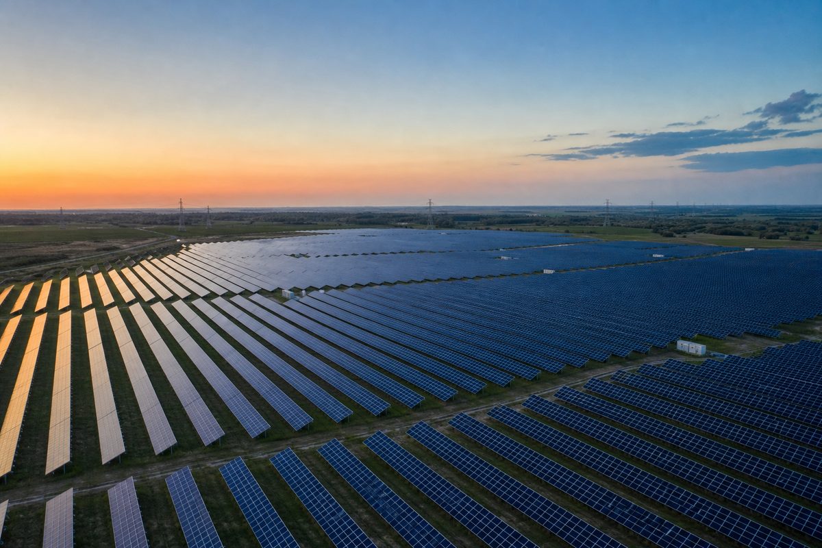
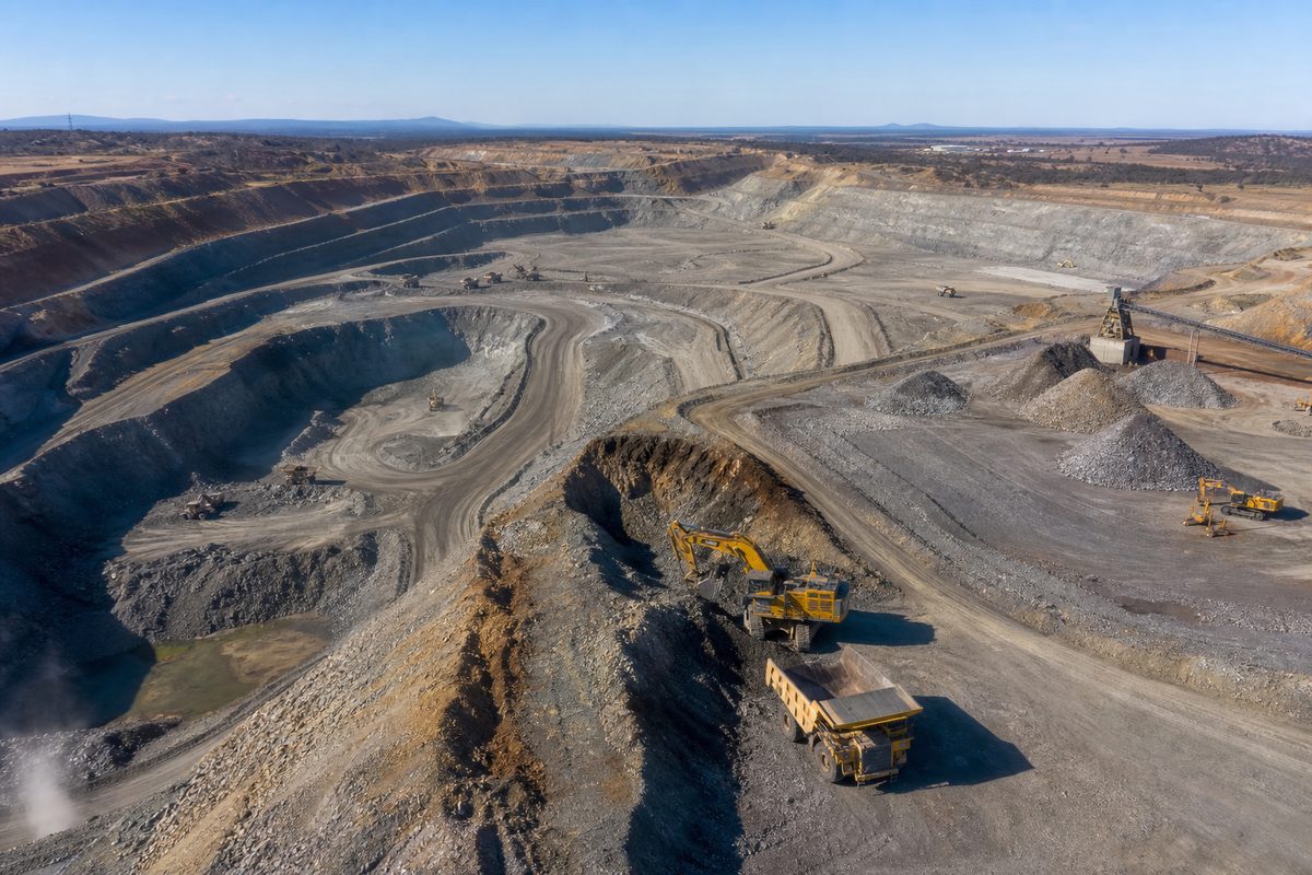
We serve construction, infrastructure, solar & energy, agriculture, mining, utilities, government and security sectors across India.
Our operations follow DGCA guidelines. DGCA certification is currently in process, and missions are executed by trained enterprise pilots.
Yes. Aerion can deploy across India subject to airspace permissions, site access and mission requirements.
Yes. Our stack covers AI fault detection, thermal analytics, NDVI insights and automated enterprise reporting.
Yes. We run high-sensitivity thermal missions for solar, electrical and industrial assets to uncover hidden defects.
After requirement discussion and clearances, many missions can be scheduled within days depending on location and complexity.
Deliverables include GIS, CAD, thermal overlays, dashboards and PDF enterprise reports.
Contact
Reach our enterprise team directly — we respond within one business day.